Conduct a GIS records search in Idaho using our GIS records resources.
View our GIS records resources for the state of Idaho. Use these GIS records to search for land ownership maps, cadastral maps, or property line maps. GIS records may contain GIS property search records, property ownership maps, and other public GIS record information.

| County | Resource | Details |
|---|---|---|
|
Search Western States marriage records ranging from the pre 1900s to the 1930s by groom name, bride name, state or county. |
||
|
Search Idaho sex offender registrations, including violent sexual predators and non-compliant offenders. Search by name, city, county, or zip code. Mapping search of registrants within a 1, 3 or 5 mile radius of a specific address is also available. |
||
|
Search Idaho county tax parcel maps through Idaho GIS Services. |
||
|
View various GIS maps from the Idaho Department of Lands GIS system, including land ownership maps, topographic maps, aerial photos, and interactive land records database viewer. |
||
| latah county |
Search Latah County property tax and assessment records through GIS maps. |
|
| latah county |
Search Idaho sex offender registrations, including violent sexual predators and non-compliant offenders. Search by name, city, county, or zip code. Mapping search of registrants within a 1, 3 or 5 mile radius of a specific address is also available. |
|
| latah county |
The Latah County Assessor's Office ensures up-to-date property ownership records and provides detailed Assessors Plat Maps for real estate in the area. |
|
| latah county |
Explore Latah County's GIS Parcel Viewer for detailed property assessments. Search by parcel number, owner name, or address for accurate real estate information. |
|
| latah county |
Explore Latah County's GIS for detailed property assessments and geographical data in northern Idaho, provided by the County Assessor's office. |
|
| latah county |
Explore Latah County's GIS Parcel Viewer for detailed property information, including parcel numbers, owner names, addresses, land use, and more. Simplify your property search with interactive mapping tools. |
|
| latah county |
Explore detailed Assessor Plat Maps for Latah County, including Orchardview Acres 3rd M0736 T39NR05W SEC 5 NE 14 and other incorporated areas. |
|
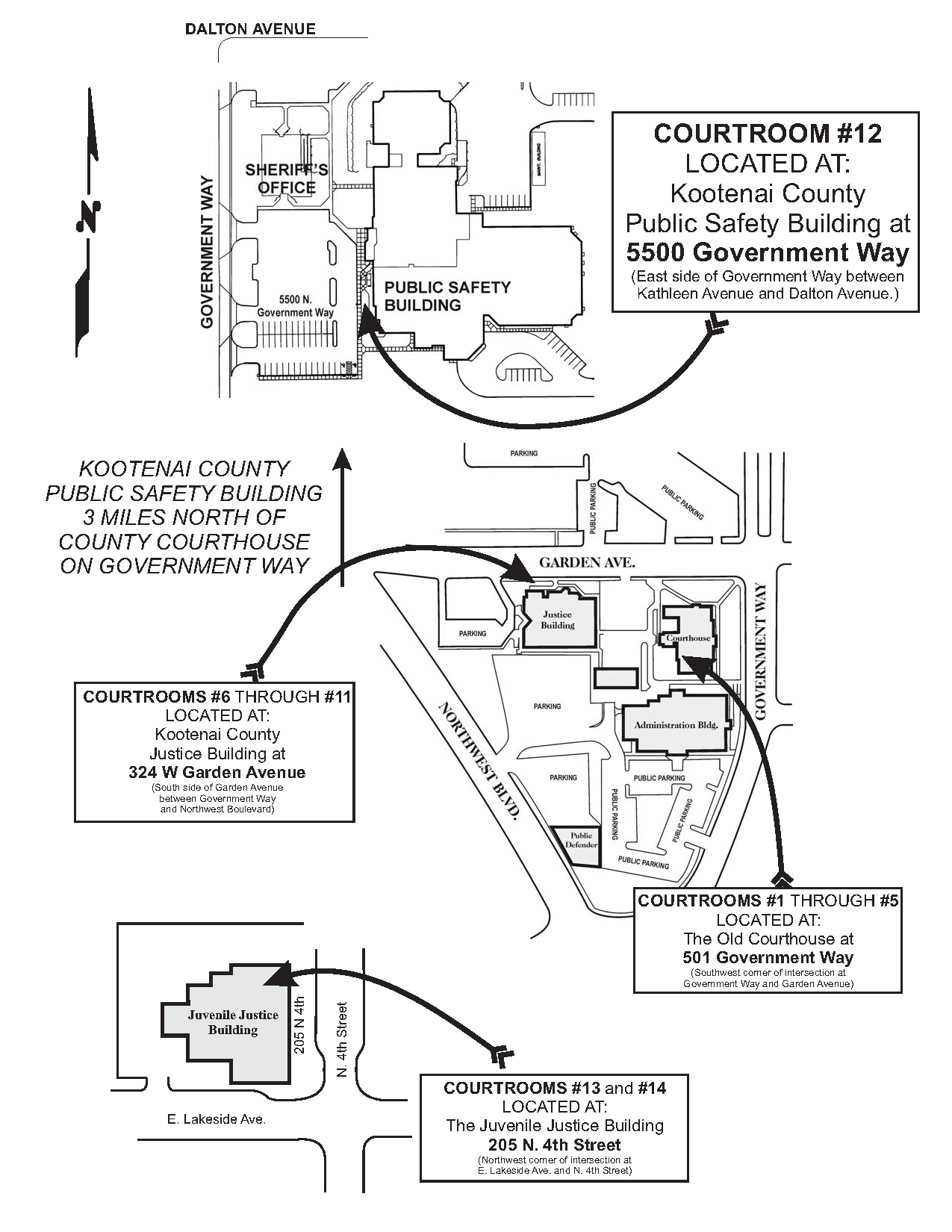
| kootenai county |
Search or browse Kootenai County plats, surveys, and land survey corner records. |
|
| kootenai county |
View the City of Coeur d'Alene street, zoning, garbage pickup, and city impact maps, or download datasets such as zoning, bicycle paths, and parks. |
|
| kootenai county |
Search the City of Coeur d'Alene crime incident map, including annual police activity reports for 2009 to present. |
|
| kootenai county |
Search Kootenai County property tax and assessment records by owner name, address or parcel number. |
|
| kootenai county |
View Kootenai County voting precinct, district maps, precinct list, polling locations, and registered voter counts. |
|
| kootenai county |
Explore Kootenai County's GIS services including parcel information search, tax numbers, and a variety of maps such as subdivision plats, tax authority groups, and an extensive map gallery. |
|
| kootenai county |
Explore interactive maps and geospatial data of Kootenai County with the official GIS platform for public access and resource management. |
|
| kootenai county |
Explore detailed parcel data in Kootenai County, Idaho, including ownership, assessed value, parcel number, legal descriptions, lot dimensions, and recent transfer records. |
|
| kootenai county |
Explore and access detailed property information, ownership, and tax district boundaries in Kootenai County, ID, with precision mapping and assessment tools. |
|
| lemhi county |
Search Lemhi County property records through interactive mapping application by owner name, address or parcel id. |
|
| lemhi county |
Explore interactive maps of Lemhi County, Idaho, with detailed property parcel information for residents and businesses. |
|
| lemhi county |
Lemhi County Assessor's Office - Property Valuation & GIS Mapping |
Explore GIS mapping and property valuation services provided by the Lemhi County Assessor's Office in Idaho for accurate real estate and personal property tax assessments. |
| lemhi county |
Explore and download Lemhi County's parcel data with precise geometries and associated records. Access our self-serve API for up-to-date parcel information. |
|
| fremont county |
Search Fremont County property tax and assessment records by address, legal description, owner name, or parcel number through GIS mapping application. |
|
| fremont county |
Explore Fremont County, ID through GIS maps and resources. Find property search tools, tax commission GIS data, and download county maps in PDF format. |
|
| fremont county |
Review the Terms and Conditions of Fremont County, Idaho's website, including the Liability Disclaimer, before accessing the GIS Data Download section. |
|
| fremont county |
Explore Fremont County, ID GIS resources including interactive maps, property search tools, and access to county agendas, minutes, and contact information. |
|
| fremont county |
Download comprehensive GIS parcel ownership data for Fremont County, Idaho, to support your mapping and spatial analysis needs. |
|
| fremont county |
Explore Fremont County's GIS data for accurate property dimensions, locations, and other vital geographical information. Field verification is recommended for official use. |
|
| washington county |
Search Washington County property tax records through GIS maps by owner name, address or parcel number. |
|
| cassia county |
Search Cassia County property records and interactive GIS map by address, subdivision or parcel number. |
|
| adams county |
Search Adams County property records by owner name, address or parcel number through GIS mapping. |
|
| gem county |
Search Gem County property records through GIS maps by address, by name, or parcel number. |
|
| jefferson county |
Search Jefferson County property assessment records and through interactive GIS mapping application by owner name or subdivision. |
|
| clearwater county |
View Clearwater County GIS maps including fire and school districts, FEMA flood zones, and other maps. |
|
| elmore county |
Search Elmore County parcel records through mapping application by address. |
|
| caribou county |
Search Caribou County property tax records through GIS maps. |
|
| bingham county |
View various GIS maps of Bingham County, including road and bridge, cemetery, Commissioner and legislative districts, emergency service areas, water and sewer districts, subdivision, floodplain and road maps. |
|
| franklin county |
Search Franklin County property records by address, name or parcel id through GIS maps. |
|
| owyhee county |
Search Owyhee County property records through GIS maps by owner name, address or parcel number. |
|
| owyhee county |
View Owyhee County Commissioner district map. |
|
| ada county |
Search interactive maps of the City of Boise, including property, zoning, floodplain, sewer service areas, zip code, city boundaries, emergency service data, and licensed child care facilities. |
|
| ada county |
View various City of Boise maps, including street, fire, parking, planning and development, registered neighborhood associations, and public works maps. |
|
| ada county |
View the City of Meridian current zoning and future land use maps. |
|
| ada county |
View the City of Boise crime statistics and crime maps. |
|
| ada county |
View the City of Meridian and Ada County crime incident map and current police reporting district maps. |
|
| ada county |
Search Ada County property records and interactive GIS map by address, subdivision or parcel number. |
|
| ada county |
View Ada County voting district and precinct maps, including precinct with City boundaries. |
|
| blaine county |
Search Blaine County property records and parcel maps. |
|
| blaine county |
View Blaine County GIS maps such as parcel and zoning maps, plat and survey maps, land use map, road information map, and more. |
|
| bannock county |
Search Bannock County records of survey, subdivision plats, and parcel map. |
|
| bannock county |
View the City of Pocatello planning and development maps. |
|
| bannock county |
Search and view Bannock County crime incident map including incidents by type of crime, date and location. |
|
| bannock county |
Search Bannock County property tax and assessment records through GIS maps. |
|
| bannock county |
View Bannock County property tax levy information and code area map. |
|
| teton county |
Search or view Teton County public records including county code and resolutions, election results, candidate financial filings, Commissioner's meeting minutes, plats, and recorded land documents. |
|
| teton county |
Search Teton County property assessment records through interactive GIS mapping application by address, parcel number, or owner name. |
|
| teton county |
View maps of Teton County Commissioner districts, school districts, cemetery district map, and voting precincts. |
|
| lewis county |
Search Lewis County tax parcels by address through interactive mapping application. |
|
| valley county |
Search Valley County property records through GIS maps. |
|
| bonneville county |
View various interactive and static GIS maps of the City of Idaho Falls, such as street, zoning, subdivision, snow removal, sanitation maps, and more. |
|
| bonneville county |
Search and view Bonneville County crime incident map by crime type, date or address. |
|
| bonneville county |
Search Bonneville County property tax and assessment records through GIS mapping. |
|
| twin falls county |
View various static maps of the City of Twin Falls including flood plains, future land use, pressure irrigation, streets, and zoning districts. |
|
| twin falls county |
View Twin Falls County voter registration and election information including absentee voting, polling locations, election results, voting precincts, and election calendar. |
|
| madison county |
Search Madison County tax parcels by address, parcel number, or subdivision through interactive mapping application. Includes property ownership and tax information, aerial photos, land reference, planning and election precincts. |
|
| canyon county |
View information about the City of Nampa planning and zoning maps including future land use, plat and project status, zoning, street and neighborhood maps, zoning and subdivision ordinances, and applications for zoning permits and elevation certificates. |
|
| canyon county |
View information about Canyon County floodplain development permits, elevation certificates and floodplain maps. |
|
| canyon county |
View the City of Nampa about floodplain information and flood management program. |
|
| custer county |
View Custer County current zoning and land use maps, including current notice of planning and zoning meetings. |
|
| custer county |
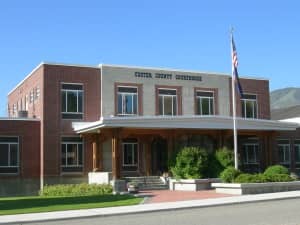
Search Custer County property assessment records through GIS maps. |
|
| bonner county |
Search East Bonner County online library databases, including genealogy, history, maps, and general reference materials. An East Bonner County Library District library card number and PIN are required to access these resources. |
|
| bonner county |
Search and view Bonner County crime incident map by crime type, date or address. |
|
| payette county |
Search and view information for Payette County property tax and assessment records through GIS maps. |
The information provided on this website about U.S. States, Counties, and Cities, is compiled from publicly available sources and is made available “as is” for informational purposes only. No representations, warranties or guarantees are made as to the accuracy, adequacy, reliability, currentness, completeness, suitability or applicability of the information contained on this website for any particular purpose. All 3rd party trademarks are for reference purposes only. PublicRecords.com powered by Intelius is a privately owned website and is not a direct source of government records or services and not affiliated with any government agency.
Below, you will find a list of offices in Idaho that may hold GIS maps. When requesting GIS records from these offices, it's important to be aware of any procedures, requirements, and fees associated with obtaining the records. Contacting the respective office directly will provide you with the most accurate and up-to-date information regarding access to GIS records in Idaho.
| Image | Office | Address | Phone |
|---|---|---|---|
 |
210 Courthouse Way, Suite 150, Rigby, ID 83442 | (208)-745-9215 | |
 |
51 West Oneida St., Preston, ID 83263 | (208)-852-1091 | |
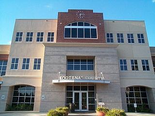 |
451 Government Way, Coeur d'Alene, ID 83814 | (208)-446-1660 | |
 |
451 Government Way, Coeur d'Alene, ID 83814 | (208)-446-1500 | |
 |
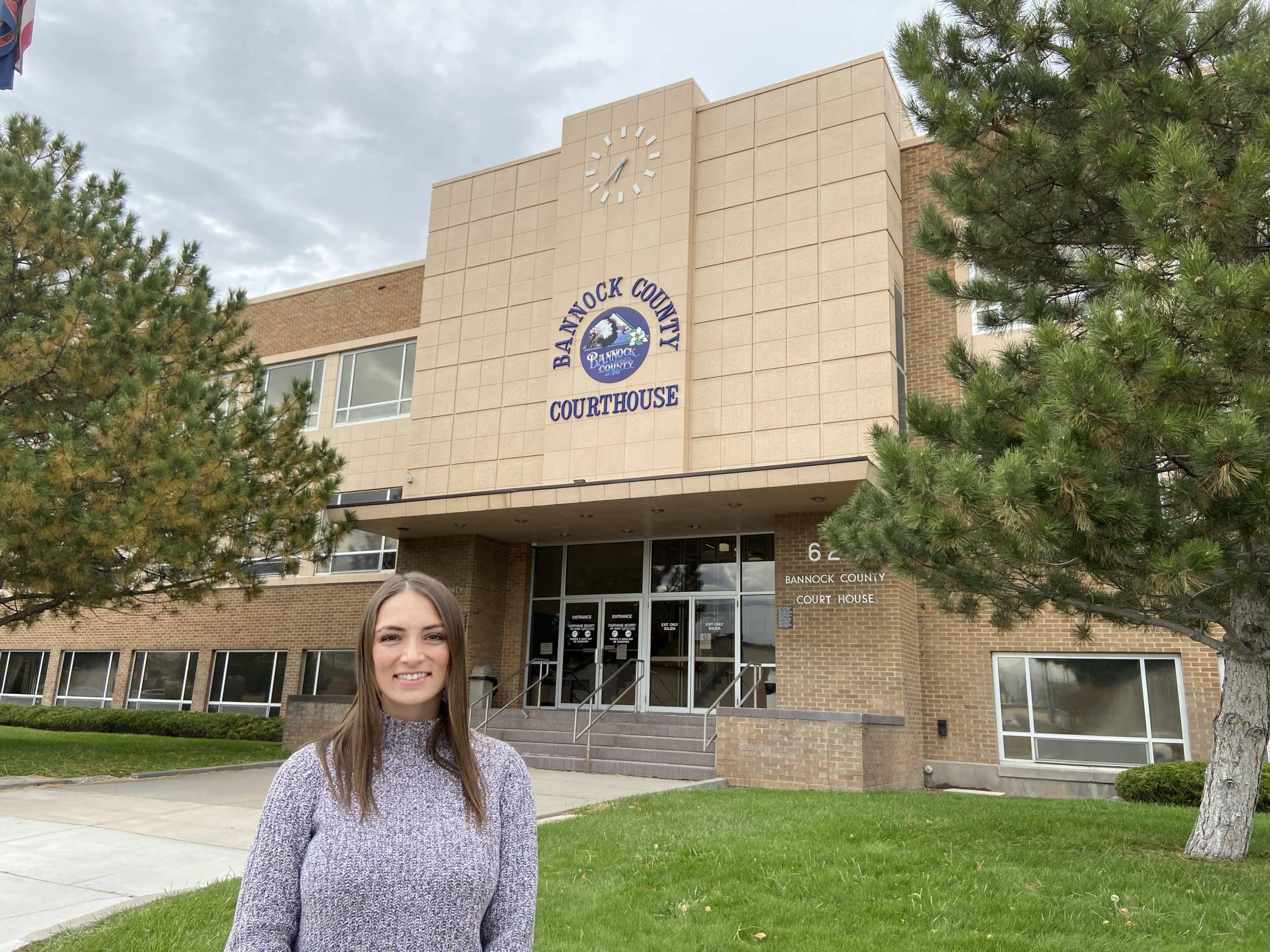
624 East Center, Rm 211, Pocatello, ID 83201 | (208)-236-7358 | |
 |
130 North 6th Avenue, Pocatello, ID 83201 | (208)-236-7260 | |
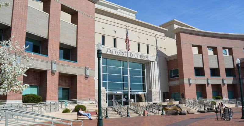 |
Ada County Assessor Courthouse Complex East Courthouse Bldg. |
190 East Front Street, Suite 107, Boise, ID 83702 | (208)-287-7200 |
 |
Teton County Clerk, Auditor and Recorder Teton County Courthouse |
150 Courthouse Drive, Room 208, Driggs, ID 83422 | (208)-354-8780 |
|
150 Courthouse Drive, Room 212, Driggs, ID 83422 | (208)-354-3507 | |
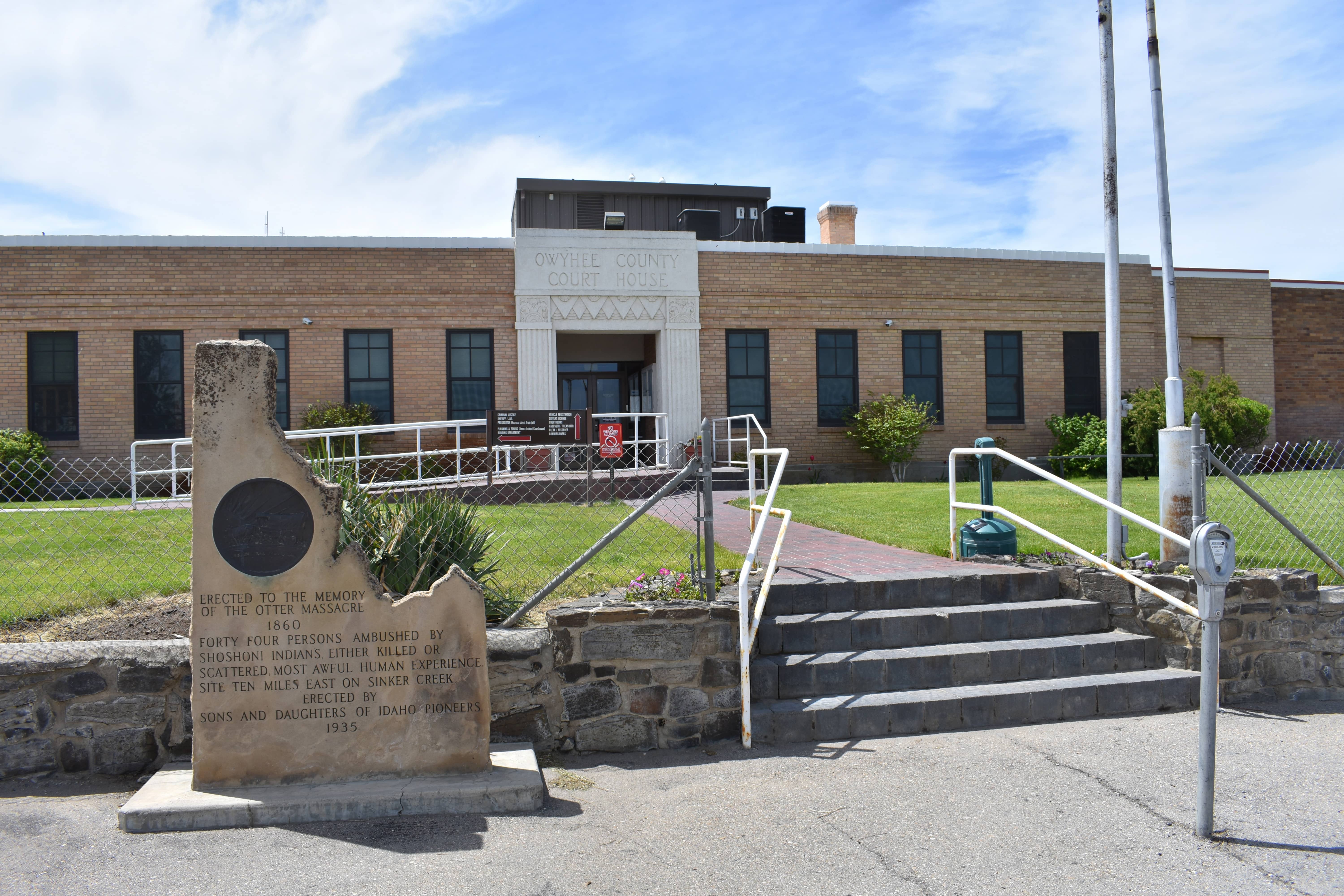 |
20381 State Highway 78, Murphy, ID 83650 | (208)-495-2817 | |
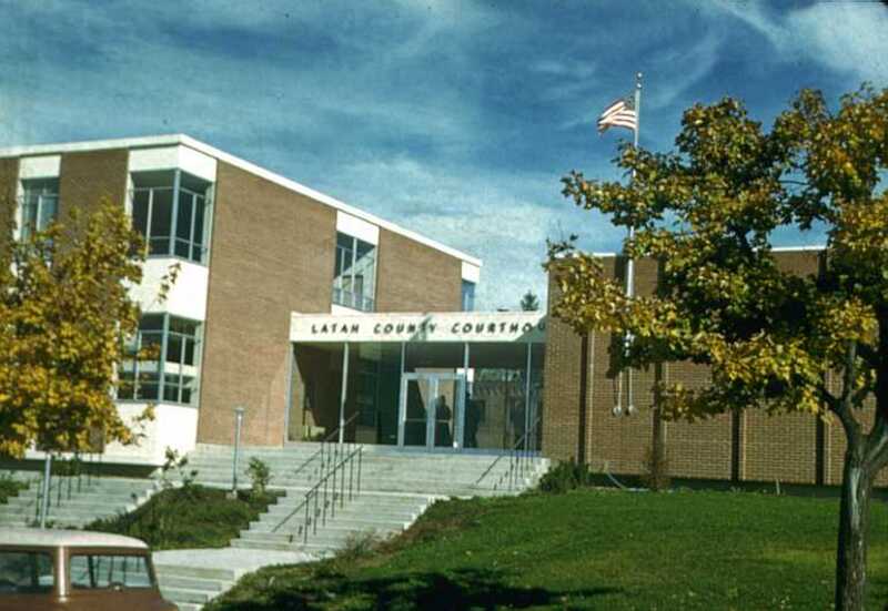 |
522 South Adams St., Moscow, ID 83843 | (208)-883-5710 | |
 |
801 East Main Ave., Challis, ID 83226 | (208)-879-2325 | |
 |
201 Industrial Ave, Council, ID 83612 | (208)-253-4271 |
The information provided on this website about U.S. States, Counties, and Cities, is compiled from publicly available sources and is made available “as is” for informational purposes only. No representations, warranties or guarantees are made as to the accuracy, adequacy, reliability, currentness, completeness, suitability or applicability of the information contained on this website for any particular purpose. All 3rd party trademarks are for reference purposes only. PublicRecords.com powered by Intelius is a privately owned website and is not a direct source of government records or services and not affiliated with any government agency.
Compiled by: Chris E. | Reviewed by: Blake A. | Last update: 03/13/24
Idaho has a variety of GIS records that are accessible to anyone. These records encompass a wide range of data allowing individuals to access and review available information online. Records can include but are not limited to, land ownership maps, property lines maps, and cadastral mapping information. We compile our resource lists from reliable government agencies to ensure ease in your search.
If you couldn't find the resource you were searching for, go to the Idaho Property & Land Records page for other public records resources. Looking for something other than property and land tax records in Idaho? Search the database of all public records available.
Visit our Contact Us page to report any issues.
Use the citation tool to easily create a properly formatted citation or reference. Select the format you’d like to use and copy the link from the screen below.
The information provided on this website about U.S. States, Counties, and Cities, is compiled from publicly available sources and is made available “as is” for informational purposes only. No representations, warranties or guarantees are made as to the accuracy, adequacy, reliability, currentness, completeness, suitability or applicability of the information contained on this website for any particular purpose. All 3rd party trademarks are for reference purposes only. PublicRecords.com powered by Intelius is a privately owned website and is not a direct source of government records or services and not affiliated with any government agency.
This site contains REAL public records data including criminal records, background reports, photos, court documents, address information, phone numbers, civil judgments, properties owned, social media profiles, and much more.
PublicRecords.com powered by Intelius does not provide consumer reports and is not a consumer reporting agency under the Fair Credit Reporting Act. We provide information (criminal record, address, phone number, property, civil judgment, and more) that can be used to satisfy your curiosity, protect your family, and find the truth about people in your life. To use our site you must certify below that you agree to our Privacy Policy and Terms of Use and will NOT use our site or the information we provide: