Conduct an environmental health records search in Massachusetts using our environmental health records resources.
View our environmental health records resources for the state of Massachusetts. Use these environmental health records to view flood zone maps, conduct a permit search, and to search for other essential data about environmental health. Environmental health records may contain flood zone areas, permit search help, GIS mapping resources, and other environmental health information.

| County | Resource | Details |
|---|---|---|
|
Search Massachusetts Department of Environmental Protection databases, including asbestos projects, hazardous waste sites, and underground storage tanks. |
||
|
Search and display spatial data pertaining to the Massachusetts coastal and ocean resources using interactive mapping system. |
||
|
Search interactive Massachusetts GIS map by address. Data layers include state facilities, census data, coastal and marine features, environmental monitoring, and political boundaries. |
||
| plymouth county |
View various Town of Hanover GIS maps including Assessor's map book, voting precincts, street atlas, zoning districts, greenways, and wetlands. |
|
| plymouth county |
Search interactive Town of Wareham GIS map for property tax and appraisal records. Search by address or parcel ID. Map also includes voting precincts, wetlands, major roads, and orthophotos. |
|
| plymouth county |
View the City of Brockton 2011 drinking water quality report. |
|
| plymouth county |
View the Town of Hanson water quality reports from 2003 to present. |
|
| plymouth county |
View interactive Town of Kingston GIS map for property sales and assessment records. Search by owner name, address or parcel ID. Map also provides FEMA floodplains, soils, wetlands, zoning, and areas of interest. |
|
| plymouth county |
View various Town of Kingston GIS maps including zoning, street, FEMA flood, open space, and Assessor's tax maps. |
|
| plymouth county |
Search interactive Town of Mattapoisett GIS map for property sales and assessment records. Search by address, property ID, or owner name. Map also includes aerial photos, natural resource protection areas, zoning districts, and wetlands. |
|
| plymouth county |
Search interactive Town of Middleborough GIS map for property sales and assessment records. Search by address, property ID, or owner name. Map also includes aerial photos, wetlands, land use, and natural resource protection areas. |
|
| plymouth county |
View the Town of Norwell annual water quality report. |
|
| plymouth county |
View the Town of Plymouth annual water quality report. |
|
| plymouth county |
View the Town of Scituate annual water quality report. |
|
| plymouth county |
View Town of West Bridgewater annual water quality report. |
|
| plymouth county |
Search interactive Town of Scituate GIS map for property tax and appraisal records. Search by address, owner name, or appraised value range. Map also provides flood zones, wetlands, roads, and vernal pools. |
|
| plymouth county |
View the Town of Marshfield FEMA flood maps. |
|
| plymouth county |
View a map of Town of Wareham flood zones. |
|
| plymouth county |
View the Town of Kingston water quality reports from 2006 to present. |
|
| barnstable county |
View various Town of Barnstable GIS maps including motor vehicle accidents, hazmat spills, level 3 offenders, flood insurance, zoning, and voter precinct maps. |
|
| barnstable county |
View Barnstable County bathing beach water quality results by town and year. |
|
| barnstable county |
View the Town of Brewster GIS maps including zoning, historic districts, FEMA flood insurance, and Assessor's parcel maps. |
|
| barnstable county |
View the Town of Brewster water quality reports from 2009 to present. |
|
| barnstable county |
View the Town of Mashpee annual water quality reports. |
|
| barnstable county |
View the Town of Orleans water quality reports from 2004 to present. |
|
| barnstable county |
View the Town of Provincetown GIS maps including Assessor's tax maps, conservation, FEMA flood zones, and zoning districts. |
|
| barnstable county |
View the Town of Barnstable annual water quality report. |
|
| worcester county |
View various City of Gardner GIS maps including zoning districts, FEMA flood zones, census tracts, voting precincts, streets, and interactive parcel map with property value information. |
|
| worcester county |
Search interactive Town of Grafton GIS map for property sales and assessment records. Search by address, property ID, or owner name. Map also includes voting precincts, flood zones, topography, wetlands, and zoning overlays. |
|
| worcester county |
View the City of Fitchburg most recent annual water quality report. |
|
| worcester county |
View the City of Gardner current annual water quality report. |
|
| worcester county |
Search interactive Town of Auburn GIS map for property sales and assessment records. Search by address, owner name, or parcel ID. Map also includes abutters, streets, flood plains, wetlands, and zoning districts. |
|
| worcester county |
Search interactive Town of Blackstone GIS map for property assessment records. Search by property ID, address, or owner last name. Map also provides abutters, flood zones, and zoning districts. |
|
| worcester county |
Search interactive Town of Douglas GIS map for property sales and assessment records. Search by owner name, address, or parcel ID. Map also includes points of interest, FEMA flood plains, zoning districts, and DEP wetlands. |
|
| worcester county |
View the Town of Dudley annual water quality report. |
|
| worcester county |
View various Town of Grafton GIS maps including zoning districts, streets, historic districts, flood insurance rate maps, and Assessor's tax maps. |
|
| worcester county |
Search interactive Town of Holden GIS map for property sales and assessment records. Search by owner name, address, or parcel ID. Map also provides aerial photos, topography, zoning, approximate flood plains, and state wetlands. |
|
| worcester county |
View the Town of Holden water quality reports from 2007 to present. |
|
| worcester county |
Search interactive Town of Lunenburg GIS map for property sales and assessment records. Search by owner name, address, or parcel ID. Map also provides zoning districts, wetlands, areas of interest, and flood plains. |
|
| worcester county |
Search interactive Town of Northborough GIS map for property sales and assessment records. Search by owner name, address, or legal description. Map also provides FEMA flood zones, zoning districts, abutters, topography, and aerial imagery. |
|
| worcester county |
View the Town of Paxton water quality reports from 2006 to present. |
|
| worcester county |
View Town of Shrewsbury annual drinking water quality report. |
|
| worcester county |
Search interactive Town of Southborough GIS map for property sales and assessment records. Search by owner name, parcel ID, or address. Map also provides flood zones, wetlands, soils, cemeteries, and zoning. |
|
| worcester county |
View the Town of Southborough current annual water quality report. |
|
| worcester county |
Search interactive Town of Southbridge GIS map for property sales and assessment records. Search by address, property ID, or owner name. Map layers also include land use, wetlands, land conservation, and areas of interest. |
|
| worcester county |
Search interactive Town of Spencer GIS map for property sales and assessment records. Search by address, property ID, or owner name. Map also provides wetlands, natural resource protection areas, zoning districts, and aerial photos. |
|
| worcester county |
View the Town of Sterling water quality reports from 2004 to present. |
|
| worcester county |
Search interactive Town of Sutton GIS map for property sales and assessment records. Search by address or owner name. Map also provides historic districts, floodplains, zoning districts, open space, and aerial photos. |
|
| worcester county |
Search interactive Town of Uxbridge GIS map for property sales and assessment records. Search by owner name, address, or parcel ID. Map also provides flood plains, wetlands, zoning, and areas of interest. |
|
| worcester county |
Search interactive Town of Webster GIS map for property sales and assessment records. Search by address, property ID, or owner name. Map also provides wetlands, land use, land conservation, and topography. |
|
| worcester county |
Search interactive Town of Westborough GIS map for property sales and assessment records. Search by address, property ID, or owner name. Map also provides zoning and overlay districts, wetlands, and topography. |
|
| worcester county |
View the Town of Westminster annual water quality reports from 2008 to present. |
|
| worcester county |
Search interactive City of Leominster GIS map for property sales and assessment records. Search by parcel number, owner name, or address. Map also provides FEMA flood zones, aerial photos, topographic information, and wetlands. |
|
| worcester county |
Search interactive Town of Athol GIS map for property sales and assessment records. Search by owner name, address, or parcel ID. Map also includes contours, DEP wetlands, and areas of interest. |
|
| worcester county |
Search interactive Town of Phillipston GIS map for property sales and assessment records. Search by owner name, address, or parcel ID. Map also provides flood plains, DEP wetlands, contours, and areas of interest. |
|
| worcester county |
View the Town of Sturbridge FEMA flood insurance rate maps, updated April 14, 2011. |
|
| worcester county |
View the Town of West Brookfield annual water quality reports from 2006 to present. |
|
| norfolk county |
Download various Town of Westwood GIS maps including FEMA floodplains, street atlas, census, zoning atlas, voting precincts with street index, school atlas, wetlands atlas, and Veterans Park map with brick inscriptions, searchable with name listing. |
|
| norfolk county |
Search interactive City of Quincy GIS map for property sales and assessment records. Search by address, property ID, or owner name. Map also provides FEMA flood zones, zoning and historic areas, voting wards and precincts, wetlands, infrastructure, and natural resource protection areas. |
|
| norfolk county |
View various Town of Franklin GIS maps including street index, voting precincts, wellhead protection areas, biotechnology overlay districts, zoning, and tax maps. |
|
| norfolk county |
Search interactive Town of Needham GIS map for property sales and assessment records. Search by address, parcel ID, or by owner name. Map also provides abutters, polling locations, public schools, FEMA flood zones, topography, and aerial photos. |
|
| norfolk county |
View various Town of Needham GIS maps including road, school districts, voting precincts, census tracts, wetlands, and zoning maps. |
|
| norfolk county |
Search interactive Town of Stoughton GIS map for property sales and assessment records. Search by property ID, address, or owner last name. Map also includes environmental features, zoning districts, voting precincts, topography, and orthophotos. |
|
| norfolk county |
Search interactive Town of Bellingham GIS map for property sales and assessment records. Search by address, parcel ID, or by owner. Map also provides abutters, zoning districts, DEP wetlands, and aerial photos. |
|
| norfolk county |
View the Town of Canton drinking water quality reports from 2005 to present. |
|
| norfolk county |
View the Town of Franklin drinking water quality reports from 2006 to present. |
|
| norfolk county |
Search interactive Town of Franklin GIS map for property sales and assessment records. Search by address or by owner name. Map also provides abutters, wetlands, FEMA flood zones, zoning districts, and aerial photos. |
|
| norfolk county |
Search interactive GIS map of the Town of Medway by address, parcel ID, or owner name. Layers include property assessments, zoning, historic districts, trash routes, wetlands, and aerials. |
|
| norfolk county |
View the Town of Medway annual drinking water quality report. |
|
| norfolk county |
Search interactive Town of Milton GIS map for property sales and assessment records. Search by address, property ID, or owner name. Map also provides flood zones, land use, conservation areas, and aerial photos. |
|
| norfolk county |
View the Town of Needham drinking water quality reports from 2010 to present. |
|
| norfolk county |
Search interactive Town of Randolph GIS map for property sales and assessment records. Search by address, property ID, or owner name. Map also provides zoning, natural resource protection areas, wetlands, and aerial photos. |
|
| norfolk county |
View the Town of Sharon water quality reports from 2003 to present. |
|
| norfolk county |
View the Town of Walpole drinking water quality reports from 2003 to present. |
|
| norfolk county |
View the Town of Franklin FEMA proposed preliminary flood maps. |
|
| middlesex county |
Search interactive Town of Bedford GIS map for property sales and assessment records. Search by address, owner name, or parcel ID. map also provides abutters, historic districts, survey monuments, floodplains, wetlands, zoning districts, and aerials. |
|
| middlesex county |
Search interactive City of Lowell GIS maps for property sales and assessment records. Search by owner name, address, or account number. Map also provides zoning districts, election wards and precincts, flood plains, and aerial photos. |
|
| middlesex county |
Search interactive City of Waltham GIS map for property sales and assessment records. Search by address, owner name, or parcel ID. Map also provides zoning districts, water and sewer information, voting precincts and polling locations, flood zones, wetlands, parcel abutters, and neighborhood sales. |
|
| middlesex county |
Search interactive Town of Framingham GIS map for property information by address. Information provided includes property assessments, building permits, business licenses, historic locations, schools, parks, trails, wetlands, aerial photos, voter precincts, and zoning districts. |
|
| middlesex county |
View various static Town of Lexington GIS maps including street map with voting precincts, flood plains, existing sewer system, current construction projects, aerial photos, and conservation land maps. |
|
| middlesex county |
Search interactive Town of Natick GIS map for sales and assessment records. Search by address, property ID, or owner name. Map also provides voting precincts, wetlands, and natural resource protection areas. |
|
| middlesex county |
View the Town of Reading GIS maps including conservation areas, flood zones, voting precincts, school districts, zoning, and Assessor's tax maps. |
|
| middlesex county |
Search interactive Town of Sudbury GIS map for property sales and assessment records. Search by address, owner name, or parcel ID. Map also provides FEMA flood zones, voting precincts, historic districts, and wetlands. |
|
| middlesex county |
Search interactive Town of Westford GIS map for property assessment records. Search by parcel ID, address, or owner. Map also provides aerial photos, flood plains, voting precincts, zoning districts, points of interest, and topography. |
|
| middlesex county |
View the City of Cambridge water quality reports from 2009 to present. |
|
| middlesex county |
View the City of Lowell annual water quality reports from 2012 to present. |
|
| middlesex county |
View the City of Waltham most recent annual drinking water quality report. |
|
| middlesex county |
View various Town of Chelmsford maps including zoning, open space, historic, recreational, environmental, and flood hazard maps. |
|
| middlesex county |
Search interactive Town of Concord GIS map for property sales and assessment records. Search by address, owner name, or parcel ID. Map also provides landmarks, abutters, zoning districts, trees, FEMA flood zones, historic districts, aerial photos, and topography. |
|
| middlesex county |
View the Town of Dunstable annual water quality report. |
|
| middlesex county |
View the Town of Lincoln annual drinking water quality reports from 2005 to present. |
|
| middlesex county |
Search interactive Town of Maynard GIS map for property sales and assessment records. Search by owner name, address, or parcel ID. Map also provides DEP wetlands, zoning districts, and points of interest. |
|
| middlesex county |
View the Town of Maynard 2011 water quality report. |
|
| middlesex county |
View various Town of Natick maps including tax, zoning, walking trails, and open space maps. |
|
| middlesex county |
View the Town of Natick annual water quality report. |
|
| middlesex county |
View the Town of Pepperell water quality reports from 2005 to present. |
|
| middlesex county |
View the Town of Townsend annual water quality reports. |
|
| middlesex county |
Search interactive Town of Wayland GIS map for property sales and assessment records. Search by owner name, address, or parcel ID. Map also provides zoning districts, conservation areas, landmarks, floodplains, and aerial photos. |
|
| middlesex county |
Search interactive Town of Weston GIS map for property sales and assessment records. Search by address or parcel ID. Map also provides abutters, zoning districts, FEMA Firm data, aerial photos, and parcel index. |
|
| middlesex county |
View various Town of Weston GIS maps including zoning, historic areas and structures, wetlands and floodplains, townwide with addresses, and parcel maps. |
|
| middlesex county |
Search interactive Town of Winchester GIS map for property information. Search by address, owner name, or parcel ID. Map also provides floodplains, aerial photos, and zoning districts. |
|
| middlesex county |
Search interactive Town of Lincoln GIS map for property sales and assessment records. Search by owner name, address, or parcel ID. Map also provides floodplains, topography, and areas of interest. |
|
| middlesex county |
View the Town of Bedford FEMA flood insurance rate maps. |
|
| middlesex county |
View Town of Natick GIS maps including street, soils, elevation, and aquifer protection map. |
|
| middlesex county |
View the Town of Winchester FEMA flood insurance rate maps. |
|
| essex county |
Search interactive City of Beverly GIS map for property sales and assessment records. Search by address, property ID, or owner name. Map also provides voting wards, zoning districts, FEMA flood zones, aerial photos and topography. |
|
| essex county |
Search interactive City of Salem GIS map for property assessment records. Search by property ID or address. Map also provides zoning districts, aerial photos, floodplains, voting precincts, and historic districts. |
|
| essex county |
View and download various Town of Andover GIS maps including street index, zoning districts, conservation and recreation, historic districts, voting precincts, and tax maps. |
|
| essex county |
View the City of Salem water quality reports from 2005 to present. |
|
| essex county |
View the Town of Lynnfield annual water quality report. |
|
| essex county |
View the Town of Wenham Assessor's tax maps and plot plans. Map also provides FEMA flood elevations and flood hazard areas, historic districts, DEP wetlands, and major roads. |
|
| essex county |
View the City of Newburyport flood insurance rate maps by panel number. |
|
| essex county |
View the most recent Town of Swampscott FEMA flood insurance rate maps. |
|
| bristol county |
View the City of Fall River 2010 water quality report. |
|
| bristol county |
View the City of New Bedford annual water quality report. |
|
| bristol county |
Search interactive City of Taunton GIS map for property sales and assessment records. Search by address, property ID, or owner name. Map also provides aerial photos, topography, zoning districts, and conservation lands. |
|
| bristol county |
View the Town of Acushnet annual water quality report. |
|
| bristol county |
View the Town of Dartmouth GIS maps including wetlands, zoning, town-owned lands, Assessor's parcels, tax map sheets, flood insurance, floodplain and hurricane maps. |
|
| bristol county |
View the Town of Dartmouth annual water quality reports. |
|
| bristol county |
Search the Town of Raynham GIS map for property sales assessment records. Search by address, property ID, or owner name. Map also provides aerial photos, topography, zoning districts, conservation lands, and natural resource protection areas. |
|
| bristol county |
View the Town of Raynham water quality reports from 2004 to present. |
|
| bristol county |
Search the Town of Rehoboth GIS map for property sales and assessment records. Search by address, property ID, or owner name. Map also provides topography, aerial photos, zoning districts, wetlands, and natural resource protection areas. |
|
| bristol county |
Search interactive Town of Westport GIS map for property sales and assessment records. Search by address, property ID, or owner name. Map also provides aerial photos, zoning districts, wetlands, and conservation lands. |
|
| bristol county |
Search the Town of Norton GIS map for property sales and assessment records. Search by address, property ID, or owner name. Map also provides conservation lands, natural resources protection areas, and wetlands. |
|
| bristol county |
View City of New Bedford maps including GIS parcel maps, flood plain maps, zoning map, and other maps. |
|
| hampshire county |
Search interactive City of Springfield GIS map for property information including assessments, taxes, sales history, tax liens, and flood zone and panel information. Search by address. Map also provides zoning districts, wetlands, and aerial photos. |
|
| hampshire county |
Search interactive Town of Amherst GIS maps including property information, conservation areas and trails, deeds and plans, cemetery burial records, street tree inventories, utility systems, and zoning. Various data files such as watersheds, parcel data, and protected lands are also provided. |
|
| hampshire county |
View various City of Northampton GIS maps including parcel, zoning, voting wards and precincts, historic register and historic districts, streets, census tracts, and flood insurance rate maps. |
|
| hampshire county |
Search interactive Town of Amherst GIS map for property information including assessments, sales history, neighborhood sales, and building permits. Search by address or parcel ID. Map also provides zoning districts, conservation areas, voting precincts, wetlands, orthophotos, and topography. |
|
| hampshire county |
Search the City of Northampton database of archived documents including permit files, elevation certificates, wetlands and floodplain issues, Assessor's cards, agendas, minutes, and staff reports. |
|
| hampshire county |
View the Town of Amherst water quality reports from 2004 to present. |
|
| hampshire county |
Search interactive Town of Belchertown GIS map for property sales and assessment records. Search by address or owner name. Map also provides zoning districts, soils, wetlands, floodplains, historic zones, and aerial photos. |
|
| hampshire county |
Search interactive Town of Hatfield GIS map for property assessments, sales history, and building permit records. Search by address, owner name, or parcel ID. Abutters tool, flood zones, historic districts, tax and zoning maps are also provided. |
|
| hampshire county |
View the Town of Southampton annual water quality reports. |
|
| hampshire county |
View the Town of Ware news and notices for annual water quality report, information about town meetings, current board vacancies, requests for proposals, and bid invitations. |
|
| hampshire county |
Search interactive City of Easthampton GIS map for property sales and assessment records. Search by owner name, address, or parcel ID. Map also provides FEMA flood zones, DEP wetlands, and areas of interest. |
|
| hampshire county |
Search the Town of Huntington GIS map for property sales and assessment records. Search by owner name, address, or parcel ID. Map also provides areas of interest, DEP wetlands, floodplains, and elevation contours. |
|
| dukes county |
Search interactive Town of Oak Bluffs GIS map for property sales and assessment records. Search by owner name, address, or parcel ID. Map also provides zoning districts, floodplains, wetlands, and historic districts. |
|
| dukes county |
View the Town of Oak Bluffs annual water quality reports. |
|
| dukes county |
Search interactive Town of Tisbury GIS map for property sales and assessment records. Search by owner name, address, or parcel ID. Map also provides floodplains, zoning districts, open space lands, and DEP wetlands. |
|
| dukes county |
Search interactive Town of West Tisbury GIS map for property sales and assessment records. Search by owner name, address, or parcel ID. Map also provides zoning districts, floodplains, DEP wetlands, and historic districts. |
|
| dukes county |
Search interactive Town of Aquinnah GIS map for property sales and assessment records. Search by owner name, address, or parcel ID. Map also provides floodplains, elevation contours, and areas of interest. |
|
| dukes county |
Search interactive Town of Edgartown GIS map for property sales and assessment records. Search by owner name, address, or parcel ID. Map also provides elevation contours, floodplains, historic districts, and wetlands. |
|
| berkshire county |
Search the Town of Adams GIS map for property sales and assessment records. Search by owner name, address, or parcel ID. Map also provides FEMA flood zones, DEP wetlands, and zoning districts. |
|
| berkshire county |
Search the Town of Lanesborough GIS map for property sales and assessment records. Search by owner name, address, or parcel ID. Map also provides DEP wetlands, FEMA floodplains, and zoning districts. |
|
| berkshire county |
View the Town of Lee annual water quality reports from 2006 to present. |
|
| berkshire county |
Search the Town of Otis GIS map for property sales and assessment records. Search by address or owner name. Map also provides abutters, DEP wetlands, flood zones, and aerial photos. |
|
| berkshire county |
Search the Town of Stockbridge GIS map for property sales and assessment records. Search by owner name, address, or parcel ID. Map also provides conservation districts, DEP wetlands, areas of interest, and zoning districts. |
|
| berkshire county |
View the Town of West Stockbridge annual drinking water quality reports from 2006 to present. |
|
| berkshire county |
Search the Town of Richmond GIS map for property sales and assessment records. Search by owner name, address, or parcel ID. Map also provides DEP wetlands, open space, contours, and areas of interest. |
|
| suffolk county |
Search interactive GIS maps of the City of Boston including property assessment data, polling locations and other neighborhood data, renewable energy installations, and capital project data. |
|
| suffolk county |
Search interactive City of Chelsea GIS map for property sales and assessment records. Search by address, owner name, or parcel ID. Map also includes aerials, school districts, floodplains, parks, and zoning districts. |
|
| suffolk county |
View the City of Revere beach water test results by date. |
|
| nantucket county |
Search interactive Town of Nantucket GIS map for property sales and assessment records. Search by address, property ID, or owner name. Map also provides zoning, topography, natural resource protection areas, and wetlands. |
|
| nantucket county |
View various Town of Nantucket GIS maps including zoning, historic district, water resource, beach and other miscellaneous maps. |
|
| hampden county |
Search interactive City of Holyoke GIS map for property sales and assessment records. Search by address, property ID, or owner name. Map also provides voting wards and precincts, aerial photos, zoning districts, and wetlands. |
|
| hampden county |
View the City of Westfield most recent water quality report. |
|
| hampden county |
Search interactive Town of Agawam GIS map for property sales and assessment records. Map also provides zoning districts, flood hazard zones, soils, and DEP wetlands. |
|
| hampden county |
Search for archived Town of East Longmeadow public documents including water quality reports, meeting minutes, and newsletters. |
|
| hampden county |
Search interactive Town of Palmer GIS map for property sales records and basic property information. Search by owner name, parcel ID, or address. Map also provides abutters, flood zones, soils, wetlands, and zoning districts. |
|
| hampden county |
View the Town of Palmer drinking water quality report. |
|
| hampden county |
Search interactive Town of West Springfield GIS map for property sales and assessment records. Search by address, owner name, or parcel ID. Map also provides FEMA flood zones, zoning districts, aerial photos, wetlands, and watersheds. |
|
| hampden county |
Search interactive Town of Wilbraham GIS map for property tax and assessment records. Search by owner name, address, or parcel ID. Map also provides abutters, flood hazard zones, DEP wetlands, zoning districts, and areas of interest. |
|
| franklin county |
View the City of Greenfield water quality reports from 2010 to present. |
|
| franklin county |
View the Town of Whately water quality reports from 2007 to present. |
The information provided on this website about U.S. States, Counties, and Cities, is compiled from publicly available sources and is made available “as is” for informational purposes only. No representations, warranties or guarantees are made as to the accuracy, adequacy, reliability, currentness, completeness, suitability or applicability of the information contained on this website for any particular purpose. All 3rd party trademarks are for reference purposes only. PublicRecords.com powered by Intelius is a privately owned website and is not a direct source of government records or services and not affiliated with any government agency.
Below, you will find a list of offices in Massachusetts that may hold environmental health records. When requesting environmental health records from these offices, it's important to be aware of any procedures, requirements, and fees associated with obtaining the records. Contacting the respective office directly will provide you with the most accurate and up-to-date information regarding access to environmental health records in Massachusetts.
| Image | Office | Address | Phone |
|---|---|---|---|
 |
4 Boltwood Avenue, Amherst, MA 01002 | (413)-259-3024 | |
 |
50 Payson Avenue, Easthampton, MA 01027 | (413)-529-1401 | |
 |
24 Russell Rd, Huntington, MA 01050 | (413)-667-3501 | |
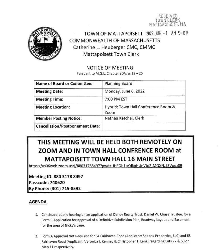 |
16 Main Street, Mattapoisett, MA 02739 | (508)-758-4106 | |
 |
44 Obery St, Plymouth, MA 02360 | (508)-830-9104 | |
 |
148 Peck Street, Rehoboth, MA 02769 | (508)-252-3352 | |
 |
816 Main Road, Westport, Ma 02790 | (508)-636-1012 | |
 |
70 E. Main Street, Norton, MA 02766 | (508)-285-0270 | |
 |
(508)-696-4215 | ||
 |
56 School Street, Oak Bluffs, MA 02557 | (508)-693-3554 | |
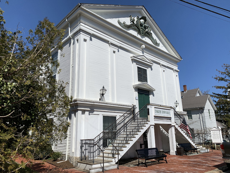 |
51 Spring Street, P.O Box 2147, Vineyard Haven, Ma. 02568 | (508)-696-4206 | |
 |
1059 State Road, PO Box 278, West Tisbury, MA 02575 | (508)-696-0101 | |
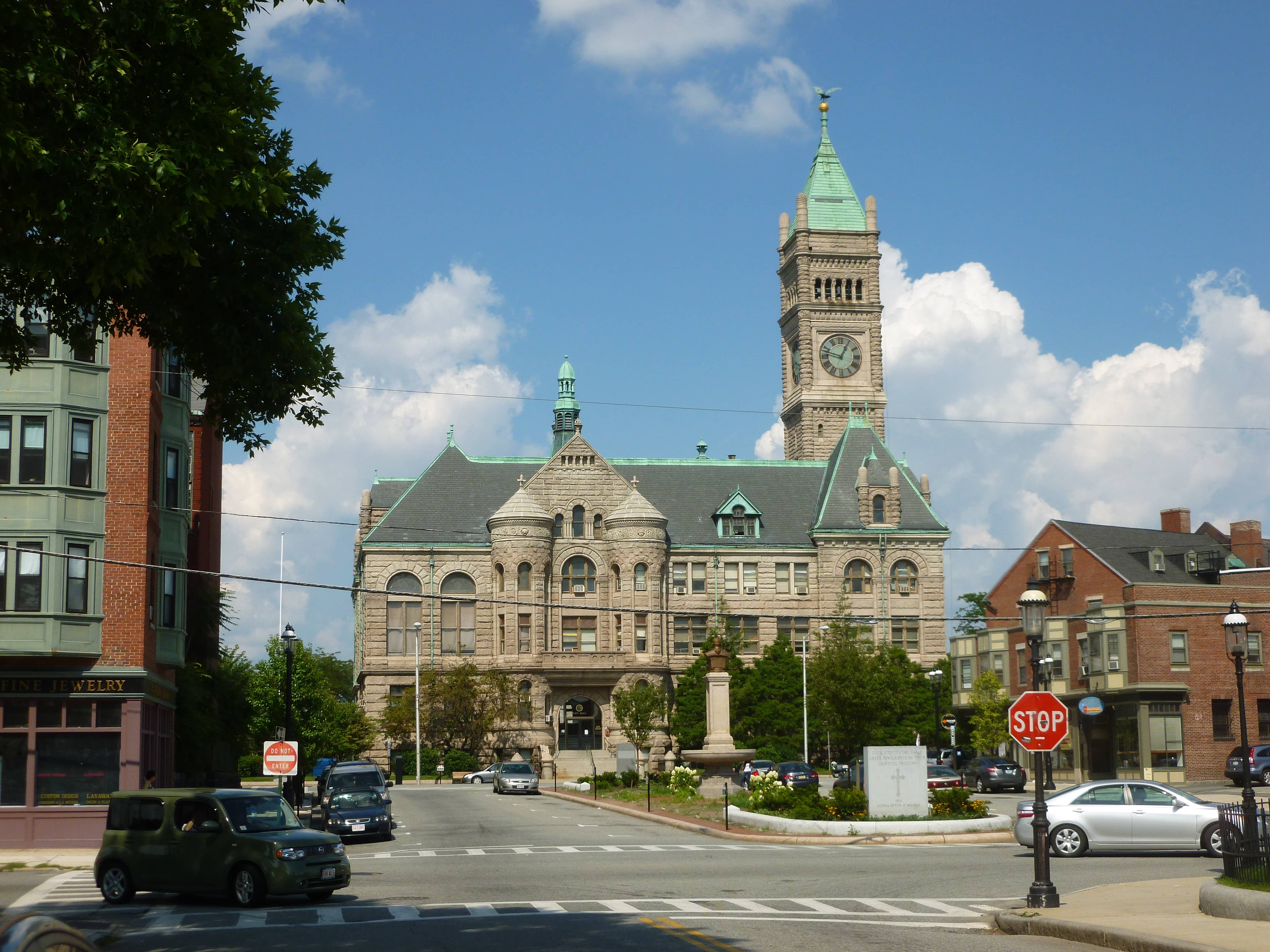 |
375 Merrimack Street 1st Floor, Room 36. Lowell, MA 01852 | (978)-674-1102 | |
 |
16 Lincoln Road, Lincoln, MA 01773 | (781)-259-2611 | |
 |
26 Central Street, West Springfield, MA 01089 | (413)-263-3050 | |
 |
18 E Worcester St, Worcester, MA 01604 | (508)-799-1485 | |
 |
33 Medway Branch, Norfolk, MA 02056 | ||
 |
144 Old South Rd, Nantucket, MA 02554 | ||
 |
257 Fisher St, Franklin, MA 02038 | (508)-520-4910 | |
 |
1841 Phinneys Ln, Barnstable, MA 02630 | (508)-362-6498 |
The information provided on this website about U.S. States, Counties, and Cities, is compiled from publicly available sources and is made available “as is” for informational purposes only. No representations, warranties or guarantees are made as to the accuracy, adequacy, reliability, currentness, completeness, suitability or applicability of the information contained on this website for any particular purpose. All 3rd party trademarks are for reference purposes only. PublicRecords.com powered by Intelius is a privately owned website and is not a direct source of government records or services and not affiliated with any government agency.
Compiled by: Chris E. | Reviewed by: Blake A. | Last update: 03/13/24
Massachusetts has a variety of environmental health records that are accessible to anyone. These records encompass a wide range of data allowing individuals to access and review available information online. Records can include but are not limited to, flood zone maps, permit searches, and other environmental health information. We compile our resource lists from reliable government agencies to ensure ease in your search.
If you couldn't find the resource you were searching for, go to the Massachusetts Legal and Government Records page for other public records resources. Looking for something other than legal and governement records in Massachusetts? Search the database of all public records available.
Visit our Contact Us page to report any issues.
Use the citation tool to easily create a properly formatted citation or reference. Select the format you’d like to use and copy the link from the screen below.
The information provided on this website about U.S. States, Counties, and Cities, is compiled from publicly available sources and is made available “as is” for informational purposes only. No representations, warranties or guarantees are made as to the accuracy, adequacy, reliability, currentness, completeness, suitability or applicability of the information contained on this website for any particular purpose. All 3rd party trademarks are for reference purposes only. PublicRecords.com powered by Intelius is a privately owned website and is not a direct source of government records or services and not affiliated with any government agency.
This site contains REAL public records data including criminal records, background reports, photos, court documents, address information, phone numbers, civil judgments, properties owned, social media profiles, and much more.
PublicRecords.com powered by Intelius does not provide consumer reports and is not a consumer reporting agency under the Fair Credit Reporting Act. We provide information (criminal record, address, phone number, property, civil judgment, and more) that can be used to satisfy your curiosity, protect your family, and find the truth about people in your life. To use our site you must certify below that you agree to our Privacy Policy and Terms of Use and will NOT use our site or the information we provide: